AquaMaps
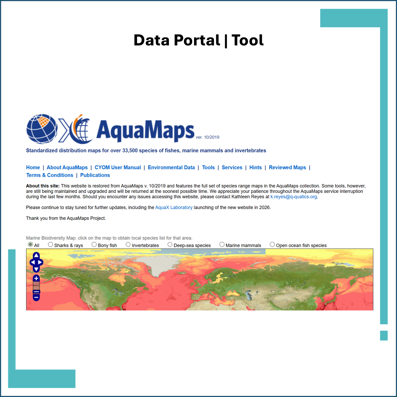
AquaMaps is a modelling system that produces predicted global distribution maps for marine species based on their environmental tolerances and habitat preferences.
The model estimates species occurrence probability using environmental variables including:
- depth
- temperature
- salinity
- primary productivity
- sea-ice association
- coastal habitat proximity
Species occurrence data are integrated from large biodiversity databases such as:
- FishBase
- SeaLifeBase
- OBIS
- GBIF
The resulting outputs are global maps of habitat suitability and predicted species distribution for thousands of marine species.